
List of Perth suburbs
Encyclopedia
This is a list of suburbs
grouped by Local Government Area
in Perth
, Western Australia
.
Many of these "suburbs" are in fact "localities", that is, they are not incorporated or otherwise legally defined entities. Western Australia loosely applies the definition used by the United States Board on Geographic Names
.
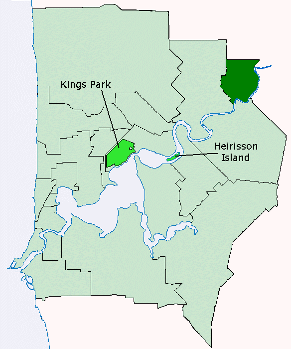
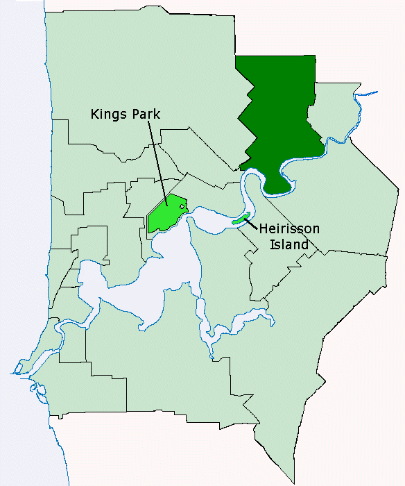
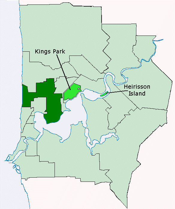
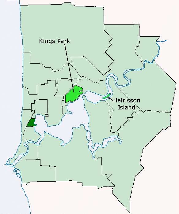
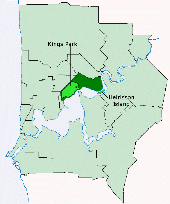
Many of these localities are contained within two or more Local Government Areas (LGA)—these have been marked and cross-referenced. In many cases, such overlaps consist of a few streets only, or portions of Crown land
.
Information about LGA and locality boundaries has been sourced from the 2007 Perth StreetSmart Street Directory published by West Australian Newspapers Ltd on behalf of the Department of Land Information, Western Australia.
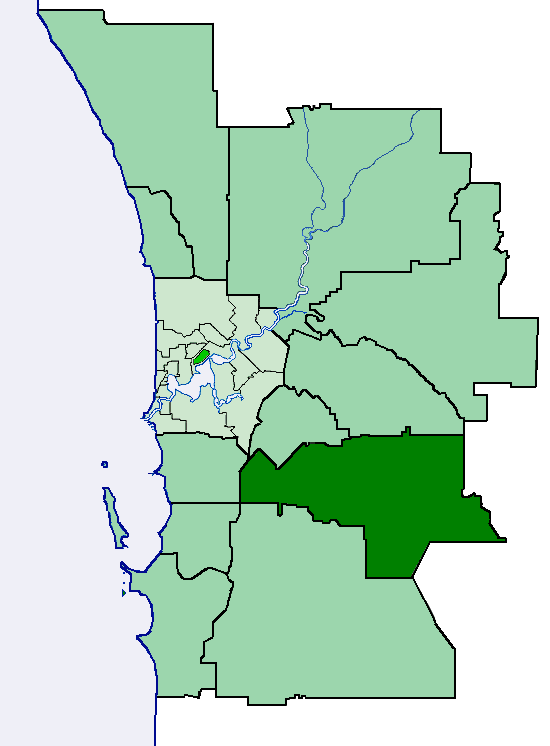
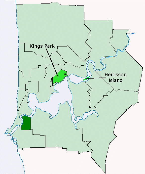
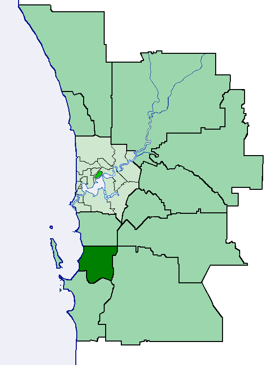
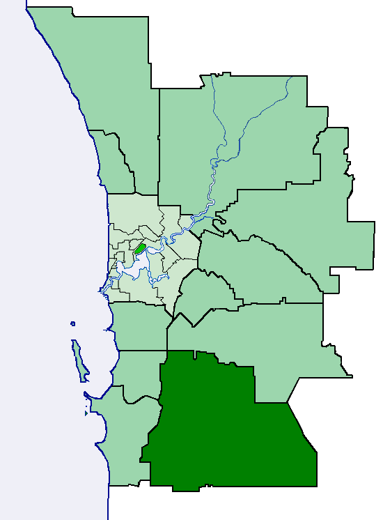
City of Armadale
Town of Bassendean
Town of Claremont
Town of Cottesloe
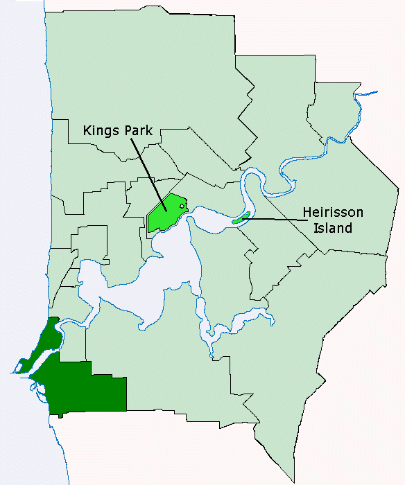
City of Fremantle
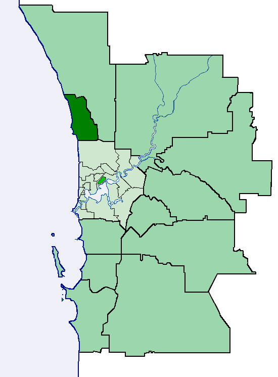
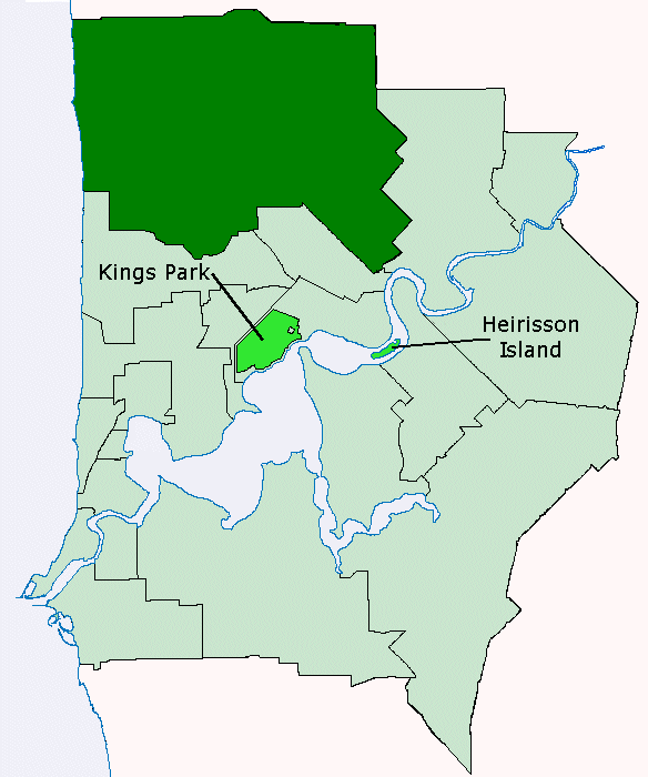
City of Joondalup
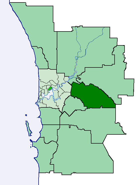
Shire of Kalamunda
Shire of Mundaring
Shire of Peppermint Grove
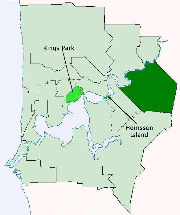
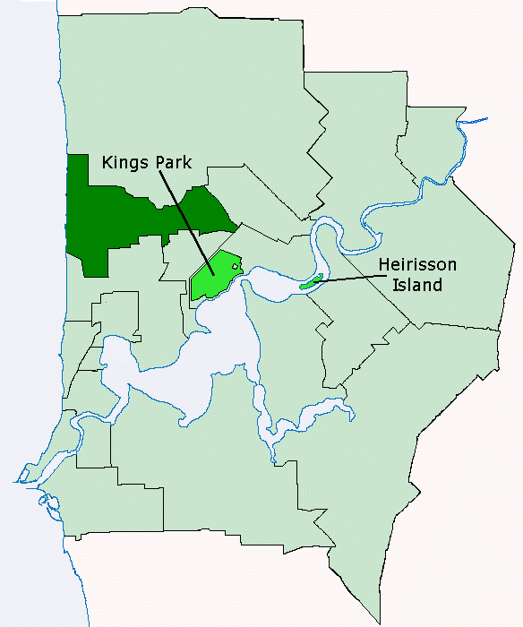
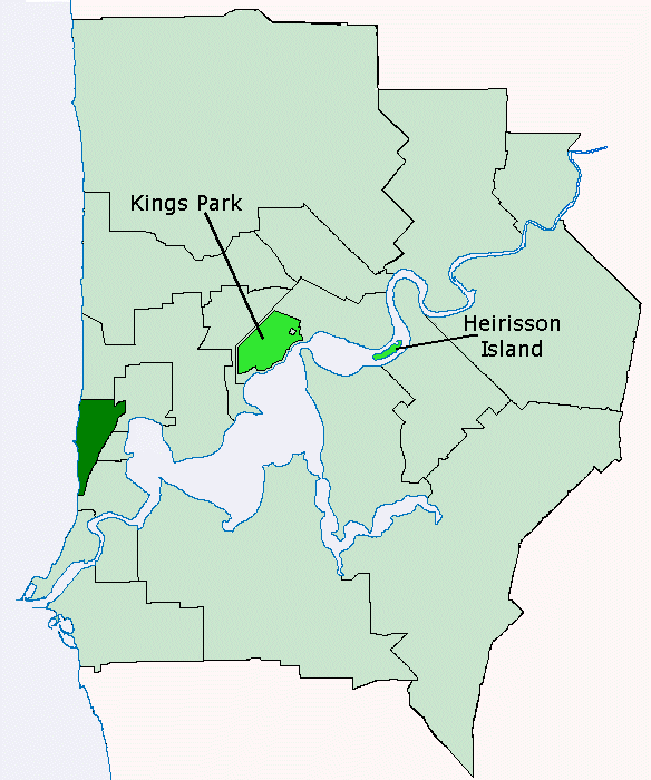
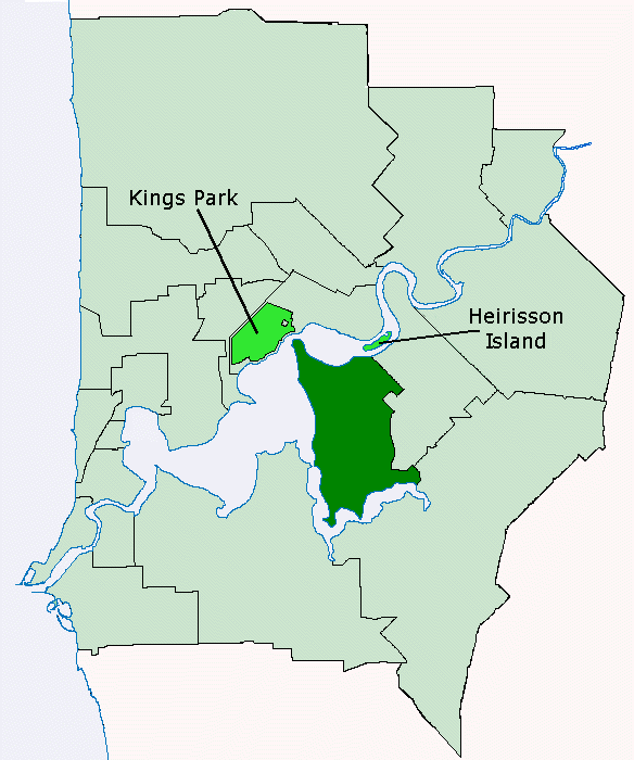
City of Perth
City of Rockingham
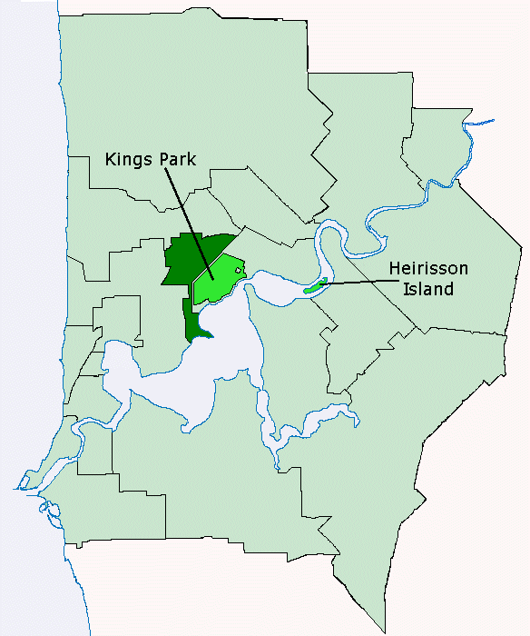
City of Subiaco
Suburbs and localities (Australia)
Suburbs and localities are the names of geographic subdivisions in Australia, mainly for address purposes. The name locality is used in rural areas, while the equivalent in urban areas are suburbs. Sometimes locality is used to refer to both localities and suburbs, and they are also called address...
grouped by Local Government Area
Local Government Areas of Western Australia
The Australian state of Western Australia is divided into 141 local government areas...
in Perth
Perth, Western Australia
Perth is the capital and largest city of the Australian state of Western Australia and the fourth most populous city in Australia. The Perth metropolitan area has an estimated population of almost 1,700,000....
, Western Australia
Western Australia
Western Australia is a state of Australia, occupying the entire western third of the Australian continent. It is bounded by the Indian Ocean to the north and west, the Great Australian Bight and Indian Ocean to the south, the Northern Territory to the north-east and South Australia to the south-east...
.
Many of these "suburbs" are in fact "localities", that is, they are not incorporated or otherwise legally defined entities. Western Australia loosely applies the definition used by the United States Board on Geographic Names
United States Board on Geographic Names
The United States Board on Geographic Names is a United States federal body whose purpose is to establish and maintain uniform usage of geographic names throughout the U.S. government.-Overview:...
.
Many of these localities are contained within two or more Local Government Areas (LGA)—these have been marked and cross-referenced. In many cases, such overlaps consist of a few streets only, or portions of Crown land
Crown land
In Commonwealth realms, Crown land is an area belonging to the monarch , the equivalent of an entailed estate that passed with the monarchy and could not be alienated from it....
.
Information about LGA and locality boundaries has been sourced from the 2007 Perth StreetSmart Street Directory published by West Australian Newspapers Ltd on behalf of the Department of Land Information, Western Australia.
City of ArmadaleCity of ArmadaleThe City of Armadale is a Local Government Area in the south-eastern suburbs of the Western Australian capital city of Perth, located about southeast of Perth's central business district...
|
 |
Town of BassendeanTown of BassendeanThe Town of Bassendean is a Local Government Area in the northeastern suburbs of the Western Australian capital city of Perth, located west of the industrial centre of Midland and about northeast of Perth's central business district...
|
 |
City of Bayswater
|
 |
City of Belmont
|
 |
Town of Cambridge
|
 |
City of Canning
|
 |
Town of ClaremontTown of ClaremontThe Town of Claremont is a Local Government Area in the inner western suburbs of the Western Australian capital city of Perth, located about halfway between the port city of Fremantle and Perth's central business district...
|
 |
City of Cockburn
|
 |
Town of CottesloeTown of CottesloeThe Town of Cottesloe is a local government area and a suburb of Perth, the capital of Western Australia. Cottesloe is located west of Perth's central business district, covers an area of , maintains 45.7 km of roads and has a population of 7,256 ....
|
 |
Town of East Fremantle
|
 |
City of FremantleCity of FremantleThe City of Fremantle is a Local Government Area in South Metropolitan Perth. The City covers an area of , and lies about southwest of the Perth central business district.-History:...
|
 |
City of Gosnells
|
 |
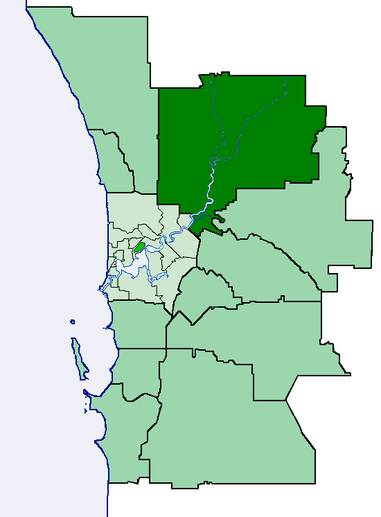
City of JoondalupCity of JoondalupThe City of Joondalup is a council and Local Government Area with City status in Perth, Western Australia. It covers the metropolitan Perth city of Joondalup in its entirety, as well as the town centres of Hillarys and Warwick....
|
 |
Shire of KalamundaShire of KalamundaThe Shire of Kalamunda is a Local Government Area in the eastern suburbs of the Western Australian capital city of Perth, located about east of Perth's central business district. The Shire covers an area of , much of which is state forest rising into the Darling Scarp to the east...
|
 |
Town of Kwinana
|
 |
City of Melville
|
 |
Town of Mosman Park
|
 |
Shire of MundaringShire of MundaringThe Shire of Mundaring is a Local Government Area on the eastern fringe of metropolitan Perth, the capital of Western Australia. The Shire covers an area of and has a population of 35,097 .-History:...
|
 |
City of Nedlands
|
 |
Shire of Peppermint GroveShire of Peppermint GroveThe Shire of Peppermint Grove is a small Local Government Area in western metropolitan Perth, the capital of Western Australia, between Mosman Park and Claremont and lies about 12 km southwest of Perth's central business district...
|
 |
City of PerthCity of PerthThe City of Perth is a local government area and body, within the Perth Metropolitan Area, which is the capital of Western Australia. The local government body is commonly known as Perth City Council. The city covers the Perth central business district and surrounding suburbs...
|
 |
City of RockinghamCity of RockinghamThe City of Rockingham is a Local Government Area in the far southern suburbs of the Western Australian capital city of Perth.-History:In 1896, residents of Rockingham petitioned to establish a road board, which they proposed be called "Clarence" which was the name of the failed settlement of...
|
 |
Shire of Serpentine-Jarrahdale
|
 |
City of South Perth
|
 |
City of Stirling
|
 |
City of SubiacoCity of SubiacoThe City of Subiaco is a Local Government Area of Western Australia. It covers an area of approximately 7 km² in inner western metropolitan Perth, the capital of Western Australia and lies about 3 km west of the Perth CBD.-History:...
|
 |
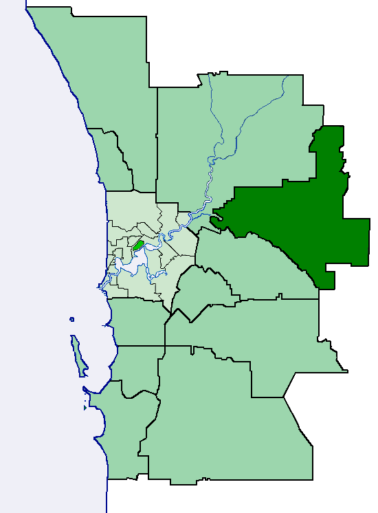
City of Swan
|
 |
Town of Victoria Park
|
 |
City of Vincent
|
 |
City of Wanneroo
|
 |
Other
- Caraban (Shire of GinginShire of GinginThe Shire of Gingin is a Local Government Area in the Wheatbelt region of Western Australia, just beyond the northern fringe of the Perth metropolitan area. The Shire covers an area of and its seat of government is the town of Gingin.-History:...
) - WilbingaWilbinga, Western AustraliaWilbinga is a locality within the Shire of Gingin, just beyond the Perth metropolitan area's northern limit.Wilbinga is bounded by the City of Wanneroo to the south, Wanneroo Road and the former Gingin Stock Route to the east, Wabling Road to the north and the Indian Ocean to the west. Most of the...
(Shire of GinginShire of GinginThe Shire of Gingin is a Local Government Area in the Wheatbelt region of Western Australia, just beyond the northern fringe of the Perth metropolitan area. The Shire covers an area of and its seat of government is the town of Gingin.-History:...
) - WundowieWundowie, Western AustraliaWundowie is a town in Western Australia located between Perth and Northam in the Darling Range. It was the location of an iron works, and siding and stopping place on the Eastern Railway....
(Shire of NorthamShire of NorthamThe Shire of Northam is a Local Government Area in the Wheatbelt region of Western Australia, beyond the northeastern fringe of the Perth metropolitan area centred on the town of Northam itself. The Shire covers an area of...
)