

McGonigle, Ohio
Encyclopedia
Hanover Township, Butler County, Ohio
Hanover Township, one of thirteen townships in the county, is located in west-central Butler County, Ohio, United States, midway between Hamilton and Oxford. It had a population of 7,878 in 2000, up from 7,653 in 1990. Rapidly growing, the Census Bureau in 2004 estimated the population was 8,751...
, Butler County
Butler County, Ohio
Butler County is a county located in the state of Ohio, United States. As of 2010, the population was 368,130. Its county seat is Hamilton. It is named for General Richard Butler, who died in 1791 fighting Indians in northern Ohio. Butler's army marched out of Fort Hamilton, where the city of...
, Ohio
Ohio
Ohio is a Midwestern state in the United States. The 34th largest state by area in the U.S.,it is the 7th‑most populous with over 11.5 million residents, containing several major American cities and seven metropolitan areas with populations of 500,000 or more.The state's capital is Columbus...
, United States
United States
The United States of America is a federal constitutional republic comprising fifty states and a federal district...
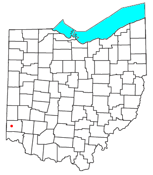
about seven miles northwest of Hamilton
Hamilton, Ohio
Hamilton is a city in Butler County, southwestern Ohio, United States. The population was 62,447 at the 2010 census. It is the county seat of Butler County. The city is part of the Cincinnati metropolitan area....
at the intersection of U.S. Route 27
U.S. Route 27
U.S. Route 27 is a north–south United States highway in the southern and midwestern United States. The southern terminus is at US 1 in Miami, Florida. The northern terminus is at Interstate 69 in Fort Wayne, Indiana...
and State Route 130
Ohio State Route 130
Ohio State Route 130 ' is a short east–west state route in southwestern Ohio. The entirety of OH 130 lies within Butler County. OH 130 has its western terminus at a singalized intersection with US 27 in McGonigle. Its eastern terminus is also at a signalized intersection, this time at OH 177 in...
in sections 17 and 18 of R2ET4N of the Congress Lands
Congress Lands
The Congress Lands was a group of land tracts in Ohio that made land available for sale to members of the general public through land offices in various cities, and through the General Land Office...
. It was formerly a stop on the Cincinnati, Hamilton, and Dayton Railroad's Indianapolis branch. It was named for Philip McGonigle and is spelled in various ways. (McGonigle is the spelling on the official Butler County highway map.)