

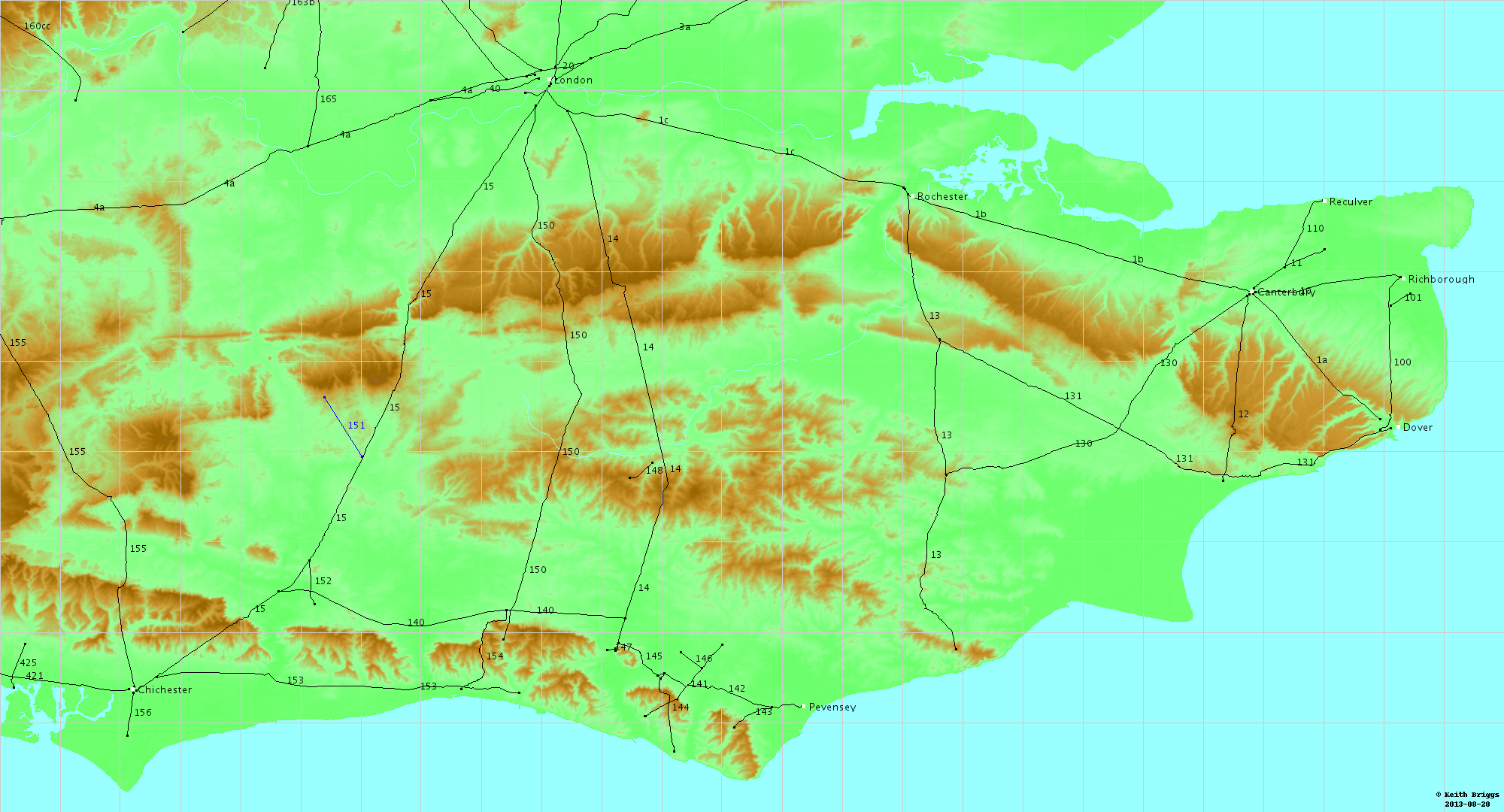
Chichester to Silchester Way
Encyclopedia
The Chichester to Silchester Way is a Roman Road between Chichester
in South-East England, which as Noviomagus was capital of the Regnenses
, and Silchester
or Calleva Atrebatum, capital of the Atrebates. The road had been entirely lost and forgotten, leaving no Saxon
place names as clues to its existence, until its chance discovery through aerial photography
in 1949. Only 6 kilometres (3.7 mi) of the 62 kilometres (38.5 mi) long road remain in use.
, while examining aerial photographs of the Milland
area, noticed earthworks the size and shape of a Roman mansio
, similar to those on Stane Street at Hardham
and Alfoldean. Because the mansio stood on the shortest of the road's alignments this gave few clues to the overall route, and much further investigation of aerial photographs and remains on the ground was needed to establish the whole route.
, crossing the river itself twice. A more easterly route was therefore taken using four alignments of straight sections of route, which crossed the Rother once at Iping
and joined the Winchester
to Silchester road about one mile south of Silchester, avoiding two stream crossings close to that city.
The road was wider than average for Britain and well constructed, with a layer of flint
or gravel
on a cambered agger. A section excavated at Milland
had a 2 to 3-inch layer of gravel on a substantial cambered foundation.
.
and south to Chichester and the coast.
After crossing the ridgeway track, now the South Downs Way
the road descends the scarp slope
of the Linch Down in a northeasterly direction as an eroded terraceway, and lower down turns northward as a deep hollow way, as it descends to Linch Farm, where there is an old chapel site. This line makes use of a northward spur of chalk. From here the road is followed by the farm track for some 500m before disappearing into the cultivated fields. The road can be found again along the west edge of Haccott's Copse, from where it passes east of Fitzhall to Fitzhall Heath where it passes between tumuli as a prominent agger. The road continues across Iping Common as an agger with ditches 60 feet apart, then a hollow, to cross the A272 road
before running as a slight terrace along the west edge of Crowshole Copse to the River Rother. North of the river the road line crosses open fields before being followed by a hedge north of Hammer Lane; then an agger is visible in Captain's Wood before Iping Lane briefly follows it at Stubbhill Farm. The road then follows a terraceway up Dunner Hill, then descending by a zig-zag.
to at least the northern end of the straight section, from where the line is uncertain until it can be found as a cutting, then a substantial causeway, at Chapel Common. Passing southwest of Hutfield Copse, the road crosses the Sussex Border Path
and soon enters the army training area at Weavers Down, with traces of an agger with side ditches running up to the crest of the hill, which is crossed on an eroded terrace.
, then north of the A3 road
passes west of Woolmer Pond near Greatham, with an alignment change as it crosses the A325 road. It then passes through the western edge of Blackmoor
and continues northwest through Binswood to cross the B 3004 road east of East Worldham
, then crosses Wyck Lane not far from the site of a Roman building near Wyck Place. The road passes through Upton Grey
, east of Old Basing
, then through Bramley
, before joining the Winchester to Silchester (51.354°N 1.1°W) road.
In East Hampshire the road passed through a Roman wine-growing area, and was close to Alice Holt Forest
, where pottery was produced on an industrial scale in Roman times. Alice Holt pottery has been found along the Sussex and Hampshire coast.
Chichester
Chichester is a cathedral city in West Sussex, within the historic County of Sussex, South-East England. It has a long history as a settlement; its Roman past and its subsequent importance in Anglo-Saxon times are only its beginnings...
in South-East England, which as Noviomagus was capital of the Regnenses
Regnenses
The Regnenses, Regni or Regini were a British Celtic kingdom and later a civitas of Roman Britain. Their capital was Noviomagus Reginorum, known today as Chichester in modern West Sussex....
, and Silchester
Silchester
Silchester is a village and civil parish about north of Basingstoke in Hampshire. It is adjacent to the county boundary with Berkshire and about south-west of Reading....
or Calleva Atrebatum, capital of the Atrebates. The road had been entirely lost and forgotten, leaving no Saxon
Anglo-Saxons
Anglo-Saxon is a term used by historians to designate the Germanic tribes who invaded and settled the south and east of Great Britain beginning in the early 5th century AD, and the period from their creation of the English nation to the Norman conquest. The Anglo-Saxon Era denotes the period of...
place names as clues to its existence, until its chance discovery through aerial photography
Aerial photography
Aerial photography is the taking of photographs of the ground from an elevated position. The term usually refers to images in which the camera is not supported by a ground-based structure. Cameras may be hand held or mounted, and photographs may be taken by a photographer, triggered remotely or...
in 1949. Only 6 kilometres (3.7 mi) of the 62 kilometres (38.5 mi) long road remain in use.
Discovery
The existence of this road was unknown until 1949 when the archaeological division of the Ordnance SurveyOrdnance Survey
Ordnance Survey , an executive agency and non-ministerial government department of the Government of the United Kingdom, is the national mapping agency for Great Britain, producing maps of Great Britain , and one of the world's largest producers of maps.The name reflects its creation together with...
, while examining aerial photographs of the Milland
Milland
Milland is a village and civil parish in the Chichester district of West Sussex, England. It is situated north of the A272 road on the border with Hampshire....
area, noticed earthworks the size and shape of a Roman mansio
Mansio
In the Roman Empire, a mansio was an official stopping place on a Roman road, or via, maintained by the central government for the use of officials and those on official business whilst travelling.-Background:The roads which traversed the Ancient World, were later surveyed,...
, similar to those on Stane Street at Hardham
Hardham
Hardham is a small village in the Horsham District of West Sussex, England. It lies on the A29 road 1.2 miles southwest of Pulborough....
and Alfoldean. Because the mansio stood on the shortest of the road's alignments this gave few clues to the overall route, and much further investigation of aerial photographs and remains on the ground was needed to establish the whole route.
Design and construction
A single alignment between the two cities would have taken the road across many feeder streams of the River RotherRiver Rother (Western)
The River Rother is a river which flows for thirty miles from Empshott in Hampshire to Stopham in West Sussex, where it joins the River Arun. It should not be confused with the River Rother, in East Sussex....
, crossing the river itself twice. A more easterly route was therefore taken using four alignments of straight sections of route, which crossed the Rother once at Iping
Iping
Iping is a village in the Chichester district of West Sussex, England. It lies within the civil parish of Stedham with Iping, just off the A272 road 2 miles west of Midhurst. The village lies on the River Rother...
and joined the Winchester
Winchester
Winchester is a historic cathedral city and former capital city of England. It is the county town of Hampshire, in South East England. The city lies at the heart of the wider City of Winchester, a local government district, and is located at the western end of the South Downs, along the course of...
to Silchester road about one mile south of Silchester, avoiding two stream crossings close to that city.
The road was wider than average for Britain and well constructed, with a layer of flint
Flint
Flint is a hard, sedimentary cryptocrystalline form of the mineral quartz, categorized as a variety of chert. It occurs chiefly as nodules and masses in sedimentary rocks, such as chalks and limestones. Inside the nodule, flint is usually dark grey, black, green, white, or brown in colour, and...
or gravel
Gravel
Gravel is composed of unconsolidated rock fragments that have a general particle size range and include size classes from granule- to boulder-sized fragments. Gravel can be sub-categorized into granule and cobble...
on a cambered agger. A section excavated at Milland
Milland
Milland is a village and civil parish in the Chichester district of West Sussex, England. It is situated north of the A272 road on the border with Hampshire....
had a 2 to 3-inch layer of gravel on a substantial cambered foundation.
Margary number
Ivan Margary numbered the road 155 in his identification system for Roman roads in BritainRoman roads in Britain
Roman roads, together with Roman aqueducts and the vast standing Roman army , constituted the three most impressive features of the Roman Empire. In Britain, as in other provinces, the Romans constructed a comprehensive network of paved trunk roads Roman roads, together with Roman aqueducts and the...
.
Chichester to West Lavant
Whether by chance or not the road starts from Chichester's north gate (50.840°N 0.779°W) on an alignment aimed directly at Silchester. It is not known if this was planned or if it followed an existing Iron Age track to Bow Hill that happened to go in that direction.West Lavant to Dunner Hill
At East Broyle Copse the road turns north on an alignment to Dunner Hill. It runs on or close to Brandy Hole Lane and passes on the west side of Lavant House School, from where Two Barns Lane runs upon it for about half a mile. Running up to Heathbarn Down, Margary found hedgerows on the line north of Binderton House and north from Henbush Copse. On the down the agger could be seen both on aerial photographs and on the ground, with outer ditches 60 feet apart. Undetectable past Hylters Farm, a slight agger is visible on Stapleash Down, then as a terraceway descending the down, the line passes east of Staple Ash Farm, then enters a wood called "The Ditches" where it can be traced as an agger then a terrace, then an agger again, as much as 30 feet wide with a lot of flint. In Linchball Wood the road curves a little to the east on a slight agger, just inside the western boundary of the wood, followed by a parish boundary, reaching its highest point at 217 metres (711.9 ft). Here there are commanding views north across the Western WealdWestern Weald
The western Weald is an area of undulating countryside in Hampshire and West Sussex containing a mixture of woodland and heathland areas.It lies to the south of the towns of Bordon, Haslemere and Rake and to the west of the town of Pulborough. It includes the towns of Liss and Petersfield on its...
and south to Chichester and the coast.
After crossing the ridgeway track, now the South Downs Way
South Downs Way
The South Downs Way is a long distance footpath and bridleway running along the South Downs in southern England, and is one of 15 National Trails in England and Wales...
the road descends the scarp slope
Escarpment
An escarpment is a steep slope or long cliff that occurs from erosion or faulting and separates two relatively level areas of differing elevations.-Description and variants:...
of the Linch Down in a northeasterly direction as an eroded terraceway, and lower down turns northward as a deep hollow way, as it descends to Linch Farm, where there is an old chapel site. This line makes use of a northward spur of chalk. From here the road is followed by the farm track for some 500m before disappearing into the cultivated fields. The road can be found again along the west edge of Haccott's Copse, from where it passes east of Fitzhall to Fitzhall Heath where it passes between tumuli as a prominent agger. The road continues across Iping Common as an agger with ditches 60 feet apart, then a hollow, to cross the A272 road
A272 road
The A272 is a road in South-East England. It follows an approximate East-West route from near Heathfield, East Sussex to the city of Winchester, Hampshire. It has achieved somewhat unlikely fame in recent years by being the subject of a book by the Dutch author, Pieter Boogaart...
before running as a slight terrace along the west edge of Crowshole Copse to the River Rother. North of the river the road line crosses open fields before being followed by a hedge north of Hammer Lane; then an agger is visible in Captain's Wood before Iping Lane briefly follows it at Stubbhill Farm. The road then follows a terraceway up Dunner Hill, then descending by a zig-zag.
Dunner Hill to Weavers Down
After zig-zagging down Dunner Hill the next alignment to Weavers Down begins. Traces of agger across Iping Marsh lead to the mansio site at Weston's Farm. This was slightly smaller than the sites on Stane Street at Hardham and Alfoldean. The road is then in modern use through MillandMilland
Milland is a village and civil parish in the Chichester district of West Sussex, England. It is situated north of the A272 road on the border with Hampshire....
to at least the northern end of the straight section, from where the line is uncertain until it can be found as a cutting, then a substantial causeway, at Chapel Common. Passing southwest of Hutfield Copse, the road crosses the Sussex Border Path
Sussex Border Path
The Sussex Border Path is a 256 kilometres long-distance footpath in southern England that connects Thorney Island to Rye.The footpath uses existing rights of way to follow the Sussex county border and is waymarked....
and soon enters the army training area at Weavers Down, with traces of an agger with side ditches running up to the crest of the hill, which is crossed on an eroded terrace.
Weavers Hill to Silchester
The road forms the central track of Longmoor Military CampLongmoor Military Camp
Longmoor Military Camp is a British Army training camp and training area on the A3 road between Liss and Liphook in Hampshire, England. The village of Greatham lies to the south....
, then north of the A3 road
A3 road
The A3, known as the Portsmouth Road for much of its length, is a dual carriageway, or expressway, which follows the historic route between London and Portsmouth passing close to Kingston upon Thames, Guildford, Haslemere and Petersfield. For much of its length, it is classified as a trunk road...
passes west of Woolmer Pond near Greatham, with an alignment change as it crosses the A325 road. It then passes through the western edge of Blackmoor
Blackmoor
Blackmoor is a fantasy role-playing game campaign setting generally associated with the game Dungeons & Dragons. It originally evolved in the early 1970s as the personal setting of Dave Arneson, the co-creator of Dungeons & Dragons, first as a setting for Arneson's miniature wargames, then as an...
and continues northwest through Binswood to cross the B 3004 road east of East Worldham
East Worldham, Hampshire
East Worldham is a village in the East Hampshire district of Hampshire, England. It is 1.9 miles east of Alton, just east of the A31 road.The nearest railway station is 1.8 miles west of the village, at Alton....
, then crosses Wyck Lane not far from the site of a Roman building near Wyck Place. The road passes through Upton Grey
Upton Grey
Upton Grey is a village and civil parish in Hampshire, England.-Roman times:The village is on the line of an ancient Roman road, the Chichester to Silchester Way.-Norman times:...
, east of Old Basing
Old Basing
Old Basing is a village in the north-east of the English county of Hampshire. It is situated just to the east of Basingstoke, and in the 2001 census had a population of 7,232...
, then through Bramley
Bramley, Hampshire
Bramley is a village and parish in Hampshire, UK. In the 2001 census it had a population of 3,348. It has a village shop, bakery, estate agency, pub and a railway station...
, before joining the Winchester to Silchester (51.354°N 1.1°W) road.
In East Hampshire the road passed through a Roman wine-growing area, and was close to Alice Holt Forest
Alice Holt Forest
Alice Holt Forest is a former royal forest in Hampshire, situated some south of Farnham, Surrey. Once predominantly an ancient oak forest, it was particularly noted in the 18th and 19th centuries for the timber it supplied for the building of ships for the Royal Navy. It is now planted mainly with...
, where pottery was produced on an industrial scale in Roman times. Alice Holt pottery has been found along the Sussex and Hampshire coast.