
Santa Clara, Eugene, Oregon
Encyclopedia
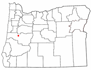
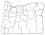
Santa Clara is a community in Lane County, Oregon
Lane County, Oregon
-National protected areas:*Oregon Islands National Wildlife Refuge *Siuslaw National Forest *Umpqua National Forest *Willamette National Forest -Government:...
, United States, part of which is a neighborhood of the city of Eugene
Eugene, Oregon
Eugene is the second largest city in the U.S. state of Oregon and the seat of Lane County. It is located at the south end of the Willamette Valley, at the confluence of the McKenzie and Willamette rivers, about east of the Oregon Coast.As of the 2010 U.S...
, but most of which is an unincorporated area. Prior to a number of partial annexations by the city between 1990 and 2005, Santa Clara was an unincorporated
Unincorporated area
In law, an unincorporated area is a region of land that is not a part of any municipality.To "incorporate" in this context means to form a municipal corporation, a city, town, or village with its own government. An unincorporated community is usually not subject to or taxed by a municipal government...
census-designated place
Census-designated place
A census-designated place is a concentration of population identified by the United States Census Bureau for statistical purposes. CDPs are delineated for each decennial census as the statistical counterparts of incorporated places such as cities, towns and villages...
in Lane County
Lane County, Oregon
-National protected areas:*Oregon Islands National Wildlife Refuge *Siuslaw National Forest *Umpqua National Forest *Willamette National Forest -Government:...
. Its current population is approximately 13,000.
According to U.S. Census Bureau figures, the racial composition of Santa Clara's population is 91 percent white, 0.8 percent black, 1.2 percent American Indian, 1.2 percent Asian, 0.2 percent Pacific Islander, 2.2 percent some other race, and 3.4 percent two or more races. Latinos, who may be of any race, form 4.7 percent of Santa Clara's population.
Geography
Santa Clara is located on the banks of the Willamette RiverWillamette River
The Willamette River is a major tributary of the Columbia River, accounting for 12 to 15 percent of the Columbia's flow. The Willamette's main stem is long, lying entirely in northwestern Oregon in the United States...
. Its northern boundary is considered to be Beacon Drive in Eugene, the southern boundary is Oregon Route 569
Oregon Route 569
Oregon Route 569 is an Oregon state highway serving as an outer quarter-loop in Eugene and Springfield. OR 569 comprises part of the Beltline Highway No. 69 . It is long and runs east–west...
(Belt Line Road), its western boundary is the Northwest Expressway, and its eastern boundary is the river.
Santa Clara has an elevation of 388 feet (118 m).
Approximately 40 percent of the land area of Santa Clara lies within the city limits of Eugene, while the remaining 60 percent is unincorporated.