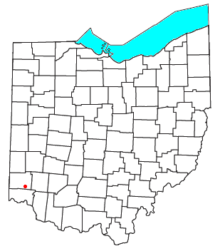
Port Union, Ohio
Encyclopedia

West Chester Township, Butler County, Ohio
West Chester Township, formerly known as Union Township, is a township located in the southeast corner of Butler County in the southwestern part of the U.S. state of Ohio, one of thirteen townships in the county. It is situated between Sharonville and Monroe, about 18 miles north of Cincinnati, and...
, Butler County
Butler County, Ohio
Butler County is a county located in the state of Ohio, United States. As of 2010, the population was 368,130. Its county seat is Hamilton. It is named for General Richard Butler, who died in 1791 fighting Indians in northern Ohio. Butler's army marched out of Fort Hamilton, where the city of...
, Ohio
Ohio
Ohio is a Midwestern state in the United States. The 34th largest state by area in the U.S.,it is the 7th‑most populous with over 11.5 million residents, containing several major American cities and seven metropolitan areas with populations of 500,000 or more.The state's capital is Columbus...
, United States
United States
The United States of America is a federal constitutional republic comprising fifty states and a federal district...
on State Route 747
Ohio State Route 747
State Route 747 is a north–south state highway in the southwestern portion of the U.S. state of Ohio. It connects with State Route 4 at both ends, from a signalized intersection in Glendale at the south end to a signalized intersection approximately west of State Route 63 near Monroe at...
about three miles north of Springdale
Springdale, Ohio
As of the census of 2000, there were 10,563 people, 4,421 households, and 2,816 families residing in the city. The population density was 2,131.0 people per square mile . There were 4,607 housing units at an average density of 929.4 per square mile...
and three miles southeast of Hamilton
Hamilton, Ohio
Hamilton is a city in Butler County, southwestern Ohio, United States. The population was 62,447 at the 2010 census. It is the county seat of Butler County. The city is part of the Cincinnati metropolitan area....
. The town was laid out in 1827 by William Elliott alongside the turning basin for the Miami and Erie Canal
Miami and Erie Canal
The Miami and Erie Canal was a canal that connected the Ohio River in Cincinnati, Ohio with Lake Erie in Toledo, Ohio. Construction on the canal began in 1825 and was completed in 1845. It consisted of 19 aqueducts, three guard locks, and 103 canal locks. Each lock measured by and they...
and was about midway between Crescentville and Hamilton
Hamilton, Ohio
Hamilton is a city in Butler County, southwestern Ohio, United States. The population was 62,447 at the 2010 census. It is the county seat of Butler County. The city is part of the Cincinnati metropolitan area....
on the canal. It was originally known as McMaken's Bridge, but took the name its township. (West Chester Township was Union Township until 2000). The Cincinnati, Hamilton, and Dayton Railroad later laid tracks through Port Union.
The town possessed its own school district until the 1920s when it merged with the other districts in the township.

