

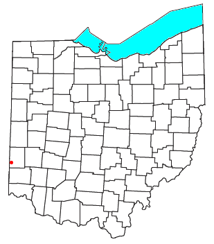
Fairhaven, Ohio
Encyclopedia
Unincorporated area
In law, an unincorporated area is a region of land that is not a part of any municipality.To "incorporate" in this context means to form a municipal corporation, a city, town, or village with its own government. An unincorporated community is usually not subject to or taxed by a municipal government...
in eastern Israel Township
Israel Township, Preble County, Ohio
Israel Township is one of the twelve townships of Preble County, Ohio, United States. The 2000 census found 1,273 people in the township, 1,031 of whom lived in the unincorporated portions of the township.-Geography:...
, Preble County
Preble County, Ohio
As of the census of 2000, there were 42,337 people, 16,001 households, and 12,144 families residing in the county. The population density was 100 people per square mile . There were 17,186 housing units at an average density of 40 per square mile...
, Ohio
Ohio
Ohio is a Midwestern state in the United States. The 34th largest state by area in the U.S.,it is the 7th‑most populous with over 11.5 million residents, containing several major American cities and seven metropolitan areas with populations of 500,000 or more.The state's capital is Columbus...
, United States
United States
The United States of America is a federal constitutional republic comprising fifty states and a federal district...
. It lies along State Route 177
Ohio State Route 177
State Route 177 is a north–south state highway located in the southwest corner of the U.S. state of Ohio. The southern terminus of State Route 177 is at the signalized junction of State Route 4 and State Route 129 in Hamilton, after State Route 177 runs concurrently with State Route 129 for...
at its intersection with Israel-Somers Road. Four Mile Creek, which feeds into Acton Lake
Hueston Woods State Park
Hueston Woods State Park is a state park located in the Butler and Preble counties of the U.S. state of Ohio, about five miles northeast of Oxford in the southwestern part of the state. It has , including a man-made lake of . The state bought the land in 1941, but the park did not open until 1957...
in southern Preble County, runs on the western edge of Fairhaven. It is located 10½ miles (17 kilometers) southwest of Eaton
Eaton, Ohio
Eaton is a city in and the county seat of Preble County, Ohio, United States. The population was 8,407 at the 2010 census. It is part of the Dayton Metropolitan Statistical Area.-History:...
, the county seat
County seat
A county seat is an administrative center, or seat of government, for a county or civil parish. The term is primarily used in the United States....
of Preble County.
The community is part of the Dayton
Dayton, Ohio
Dayton is the 6th largest city in the U.S. state of Ohio and the county seat of Montgomery County, the fifth most populous county in the state. The population was 141,527 at the 2010 census. The Dayton Metropolitan Statistical Area had a population of 841,502 in the 2010 census...
Metropolitan Statistical Area
Greater Dayton
The Dayton metropolitan area is the fourth largest metropolitan area in the state of Ohio, behind the largest, Greater Cincinnati, Greater Cleveland, and Greater Columbus.-Definitions:...
.