

North Frisian Barrier Island
Encyclopedia
Bank (topography)
A bank, sometimes referred to as a fishing bank, is an area on the continental shelf which is shallow compared to its surrounding area, such as a shoal or the top of an underwater hill. Somewhat like continental slopes, ocean banks slopes can upwell as tidal and other flows intercept them,...
due west of the German mudflat
Mudflat
Mudflats or mud flats, also known as tidal flats, are coastal wetlands that form when mud is deposited by tides or rivers. They are found in sheltered areas such as bays, bayous, lagoons, and estuaries. Mudflats may be viewed geologically as exposed layers of bay mud, resulting from deposition of...
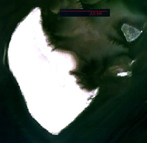
islands Halligen. The banks from north to south are
| No. | sand bank Bank (topography) A bank, sometimes referred to as a fishing bank, is an area on the continental shelf which is shallow compared to its surrounding area, such as a shoal or the top of an underwater hill. Somewhat like continental slopes, ocean banks slopes can upwell as tidal and other flows intercept them,... |
area km² |
|---|---|---|
| 1 | Japsand | 3 |
| 2 | Norderoogsand | 10 |
| 3 | Süderoogsand | 15 |
| North Frisian Barrier Island | 28 | |