Mount Liptak
Encyclopedia

Mountain
Image:Himalaya_annotated.jpg|thumb|right|The Himalayan mountain range with Mount Everestrect 58 14 160 49 Chomo Lonzorect 200 28 335 52 Makalurect 378 24 566 45 Mount Everestrect 188 581 920 656 Tibetan Plateaurect 250 406 340 427 Rong River...
over 3,000 m with twin summits, located 7 nautical miles (13 km) southeast of Mount Craddock
Mount Craddock
Mount Craddock is a large, bold mountain forming the south extremity of Craddock Massif in Sentinel Range, the highest mountain in Antarctica. It is linked by Karnare Col to Mount Strybing in the southern Sentinel Range...
in the Sentinel Range
Sentinel Range
The Sentinel Range is a major mountain range situated northward of Minnesota Glacier and forming the northern half of the Ellsworth Mountains in Antarctica. The range trends NNW-SSE for about and is 24 to 48 km wide...
, Ellsworth Mountains
Ellsworth Mountains
The Ellsworth Mountains are the highest mountain ranges in Antarctica, forming a long and wide chain of mountains in a north to south configuration on the western margin of the Ronne Ice Shelf. They are bisected by Minnesota Glacier to form the northern Sentinel Range and the southern Heritage...
in Antarctica. It surmounts Bolgrad Glacier
Bolgrad Glacier
Bolgrad Glacier is the 7.4 km long and 5.7 km wide glacier on the west side of southern Sentinel Range in Ellsworth Mountains, Antarctica, situated south of Brook Glacier and north of Sirma Glacier...
to the west and Kornicker Glacier
Kornicker Glacier
Kornicker Glacier is a glacier flowing northeastwards from the cirque bounded by Mounts Liptak, Southwick, Milton and Mullen in southern Sentinel Range, Ellsworth Mountains in Antarctica. The glacier merges with the terminus of southeast-flowing Thomas Glacier as both glaciers emerge from the...
to the east.
First mapped by United States Geological Survey
United States Geological Survey
The United States Geological Survey is a scientific agency of the United States government. The scientists of the USGS study the landscape of the United States, its natural resources, and the natural hazards that threaten it. The organization has four major science disciplines, concerning biology,...
(USGS) from surveys and U.S. Navy air photos, 1957-59. Named by Advisory Committee on Antarctic Names
Advisory Committee on Antarctic Names
The Advisory Committee on Antarctic Names is an advisory committee of the United States Board on Geographic Names responsible for recommending names for features in Antarctica...
(US-ACAN) for L.H. Liptak, aviation machinist mate, U.S. Navy, who served as plane captain on the first reconnaissance flights to this vicinity in January 1958.
Maps
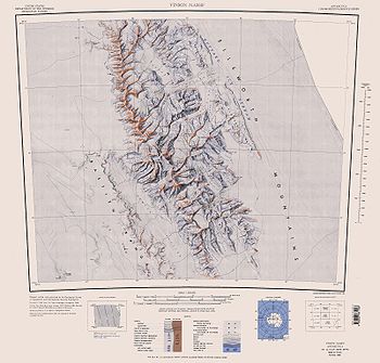
- Vinson Massif. Scale 1:250 000 topographic map. Reston, Virginia: US Geological Survey, 1988.

