Fucha Peak
Encyclopedia

Bangey Heights
Bangey Heights are the heights rising to 2900 m in north-central Sentinel Range in Ellsworth Mountains, Antarctica, extending 12 km in southwest-northeast direction and 10 km in northwest-southeast direction...
, north-central Sentinel Range
Sentinel Range
The Sentinel Range is a major mountain range situated northward of Minnesota Glacier and forming the northern half of the Ellsworth Mountains in Antarctica. The range trends NNW-SSE for about and is 24 to 48 km wide...
in Ellsworth Mountains
Ellsworth Mountains
The Ellsworth Mountains are the highest mountain ranges in Antarctica, forming a long and wide chain of mountains in a north to south configuration on the western margin of the Ronne Ice Shelf. They are bisected by Minnesota Glacier to form the northern Sentinel Range and the southern Heritage...
, Antarctica.
The peak is named after the settlements of Mala (Little) Fucha and Golema (Great) Fucha in Western Bulgaria.
Location
Fucha Peak is located at 78°02′16"S 85°37′15"W, which is 2.45 km northeast of Golemani PeakGolemani Peak
Golemani Peak is the peak rising to 2800 m in the Bangey Heights of north-central Sentinel Range in Ellsworth Mountains, Antarctica. It is surmounting Patleyna Glacier to the southwest....
, 2.66 km east of Oreshak Peak
Oreshak Peak
Oreshak Peak is the peak rising to 2800 m in the Bangey Heights of north-central Sentinel Range in Ellsworth Mountains, Antarctica. It is surmounting Patleyna Glacier to the south-southwest and Embree Glacier to the west and north....
, 2.8 km south by west of Mount Schmid, and 11.43 km northwest of Zimornitsa Peak
Zimornitsa Peak
Zimornitsa Peak is the peak rising to 1700 m in Maglenik Heights, north-central Sentinel Range in Ellsworth Mountains, Antarctica. It is overlooking Kopsis Glacier to the northwest and Young Glacier to the southeast....
. US mapping in 1961, updated in 1988.
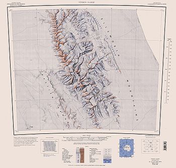
Maps
- Vinson Massif. Scale 1:250 000 topographic map. Reston, Virginia: US Geological Survey, 1988.

