Chepino Saddle
Encyclopedia

Sentinel Range
The Sentinel Range is a major mountain range situated northward of Minnesota Glacier and forming the northern half of the Ellsworth Mountains in Antarctica. The range trends NNW-SSE for about and is 24 to 48 km wide...
in Ellsworth Mountains
Ellsworth Mountains
The Ellsworth Mountains are the highest mountain ranges in Antarctica, forming a long and wide chain of mountains in a north to south configuration on the western margin of the Ronne Ice Shelf. They are bisected by Minnesota Glacier to form the northern Sentinel Range and the southern Heritage...
, Antarctica, linking Probuda Ridge
Probuda Ridge
Probuda Ridge is the long and wide side ridge descending from Mount Anderson north-northeastwards towards Mount Todd in north-central Sentinel Range, Ellsworth Mountains in Antarctica. The ridge features Eyer Peak , Mount Press and Mount Todd , and surmounts Embree Glacier to the west and...
to the southwest to Bangey Heights
Bangey Heights
Bangey Heights are the heights rising to 2900 m in north-central Sentinel Range in Ellsworth Mountains, Antarctica, extending 12 km in southwest-northeast direction and 10 km in northwest-southeast direction...
to the northeast. It is part of the glacial divide between Embree Glacier
Embree Glacier
Embree Glacier is a 20 mi long glacier in the north-central part of Sentinel Range, Ellsworth Mountains, draining the eastern slopes of Mount Hale, Mount Davis and Mount Bentley, the northeast slopes of Mount Anderson, and the northwestern slopes of Probuda Ridge, flowing north-northeastwards and...
to the north and Ellen Glacier
Ellen Glacier
The Ellen Glacier is an Antarctic glacier in central Sentinel Range, Ellsworth Mountains, draining the eastern slopes of Mount Anderson and Long Gables and flowing generally SE for 35 km to Barnes Ridge, where it leaves the range and enters the south flowing Rutford Ice Stream.First mapped by...
to the south.
The saddle is named after the settlement of Chepino in Western Bulgaria and the homonymous Chepino Valley
Chepino Valley
The Chepino Valley or Chepino is the largest valley in the Rhodope Mountains in southern Bulgaria. It is situated along the course of the Chepino River near the Batak Mountain in the northwestern part of the Rhodopes. Located at around 750 m above sea level, it is between 4 and 7 km wide and...
in Southern Bulgaria.
Location
Chepino Saddle is centred at 78°05′44"S 85°45′13"W. US mapping in 1961, updated in 1988.Maps
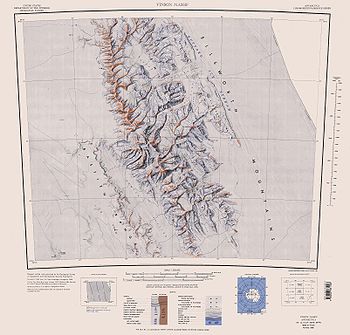
- Vinson Massif. Scale 1:250 000 topographic map. Reston, Virginia: US Geological Survey, 1988.

