
Burdick South Peak
Encyclopedia
Burdick Ridge
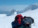
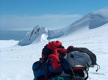
Burdick Ridge is a ridge rising to 773 m on Livingston Island in the South Shetland Islands. Extending for 1.9 km between Orpheus Gate in the southeast and Rezen Saddle in the northwest. Bounded by Perunika Glacier to the northeast, and Balkan Snowfield to the southwest. Takes its name from...
in eastern Livingston Island. The peak is narrow, with steep and partly ice-free southern and northern slopes. It is linked to Willan Nunatak
Willan Nunatak
Willan Nunatak is an ice-free tipped peak rising to 449 m on the glacial divide between Huntress Glacier and Balkan Snowfield on Hurd Peninsula in eastern Livingston Island in the South Shetland Islands, Antarctica...
by Willan Saddle
Willan Saddle
Willan Saddle is a flat, crescent-shaped and ice-covered saddle extending 1 km in the northeast-southwest direction between Burdick South Peak and Willan Nunatak in eastern Livingston Island in the South Shetland Islands, Antarctica...
.
The feature takes its name from Burdick Peak.
Location
The peak is located at 62°38′36"S 60°15′33"W which is 980 m south by west of Burdick PeakBurdick Peak
Burdick Peak rises southwest of Mount Bowles on Livingston Island, in the South Shetland Islands. It was named by the UK Antarctic Place-names Committee in 1958 for Christopher Burdick, Master of the American schooner Huntress of Nantucket, who visited the South Shetland Islands in 1820–21....
, 5.26 km east of Sinemorets Hill
Sinemorets Hill
Sinemorets Hill is the second most prominent in the chain of hills surmounting Bulgarian Beach in eastern Livingston Island in the South Shetland Islands, Antarctica....
, 1.45 km northeast of Willan Nunatak and 1.49 km west-northwest of Pliska Peak.
The peak was mapped by the Spanish Servicio Geográfico del Ejército in 1991. Co-ordinates, elevation and distances given according to a 1995-96 Bulgarian topographic survey.
Maps
- L.L. Ivanov et al. Antarctica: Livingston Island and Greenwich Island, South Shetland Islands. Scale 1:100000 topographic map. Sofia: Antarctic Place-names Commission of Bulgaria, 2005.
- L.L. Ivanov. Antarctica: Livingston Island and Greenwich, Robert, Snow and Smith Islands. Scale 1:120000 topographic map. Troyan: Manfred Wörner Foundation, 2009.