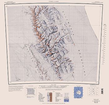
Barnes Ridge
Encyclopedia

Young Glacier
Young Glacier is a glacier which flows east for 8 miles and terminates at the north end of Barnes Ridge on the east side of Sentinel Range, Ellsworth Mountains. First mapped by United States Geological Survey from surveys and U.S. Navy air photos, 1957-59. Named by Advisory Committee on...
and Ellen Glacier
Ellen Glacier
The Ellen Glacier is an Antarctic glacier in central Sentinel Range, Ellsworth Mountains, draining the eastern slopes of Mount Anderson and Long Gables and flowing generally SE for 35 km to Barnes Ridge, where it leaves the range and enters the south flowing Rutford Ice Stream.First mapped by...
at the east side of the Sentinel Range
Sentinel Range
The Sentinel Range is a major mountain range situated northward of Minnesota Glacier and forming the northern half of the Ellsworth Mountains in Antarctica. The range trends NNW-SSE for about and is 24 to 48 km wide...
, Ellsworth Mountains
Ellsworth Mountains
The Ellsworth Mountains are the highest mountain ranges in Antarctica, forming a long and wide chain of mountains in a north to south configuration on the western margin of the Ronne Ice Shelf. They are bisected by Minnesota Glacier to form the northern Sentinel Range and the southern Heritage...
in Antarctica. Bounded by Rutford Ice Stream
Rutford Ice Stream
Rutford Ice Stream is a major Antarctic ice stream, about 180 miles long and over 15 miles wide, which drains southeastward between the Sentinel Range, Ellsworth Mountains and Fletcher Ice Rise into the southwest part of Ronne Ice Shelf...
to the east and Arapya Glacier
Arapya Glacier
Arapya Glacier , is the 11.4 km long and 5 km wide glacier on the east side of north-central Sentinel Range in Ellsworth Mountains, Antarctica, situated south of Young Glacier...
to the west.
It was mapped by the United States Geological Survey
United States Geological Survey
The United States Geological Survey is a scientific agency of the United States government. The scientists of the USGS study the landscape of the United States, its natural resources, and the natural hazards that threaten it. The organization has four major science disciplines, concerning biology,...
from surveys and from U.S. Navy air photos, 1957–59, and named by the Advisory Committee on Antarctic Names
Advisory Committee on Antarctic Names
The Advisory Committee on Antarctic Names is an advisory committee of the United States Board on Geographic Names responsible for recommending names for features in Antarctica...
for Stephen S. Barnes, scientific leader at Byrd Station
Byrd Station
Byrd Station refers to a research station established by the United States during the International Geophysical Year by the U.S. Navy during Operation Deep Freeze II in West Antarctica at 80°, 120°W...
in 1958.
Maps
- Vinson Massif. Scale 1:250 000 topographic map. Reston, Virginia: US Geological Survey, 1988.

