izrlghost8
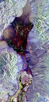
Hello. im trying to interprate water depth from SPOT5 image by using the algorithm. From the data aquisition,i collect salinity data by using sampling method in order to test either salinity can improve depth accuracy or not. Anyone can help me about the algorithm??.. thank u


